
Maria Gallotto
3rd Place
Maria Gallotto graduated recently in architecture with a thesis entitled “Urban and environmental redevelopment of the northern suburbs of Naples”. She is coming from an artistic formation and deeply involved in matters of technology design since the start of her studies. Currently she is working for Accenture as FTTH Network Designer dealing with design of infrastructure components to support business strategy from the perspective of distributed architecture, verification of adequacy of network systems against requirements related to performance and security.
Laudatio for Maria Gallotto
“This well-organized computational master thesis study, based on the ENVI-met software tool, attempts to make a first step toward understanding the thermal resilience of nature base solutions and retroreflective elements, in Napoli, in 2050. The project is relevant and timely, as climate change has intensified during the last decades in Napoli.
The challenge is greater for southern Mediterranean cities, where performative architectural adaptation measures need to be foreseen. The well-arrayed microclimatic simulations by Maria Gallotto, show that microclimatic conditions are, and will be further, locally compromised due to increased direct solar radiation, lack of ventilation and high air temperatures. The results prove those simple interventions can locally counteract climate change by reducing sensibly by the means of Mean Radiant Temperatures.”
Emanuele Naboni
Associate Professor of Climate Change Design at the University of Parma (Italy), Lecturer at the Master of Architecture of Extreme Environments at The Royal Design Academy (Copenhagen, Denmark), Module Leader at the School of Sustainability of Mario Cucinella Architects (Milano, Italy)
Redeveloping northern Naples suburbs with a climate adaptive design strategy

Why Naples?
Large cities such as Naples and its densely built-up suburbs represent a scenario sensitive to climate change due to their high population density and low percentage of permeable surfaces.
Rising temperatures are the first real consequence of climate change, a phenomenon that is tangible especially in the most densely built and populated urban areas. Here, the heat island phenomenon occurs, where night-time temperatures are higher than in rural and agricultural areas. This phenomenon is also supported by the scarce presence of green areas in the centre of the city and the presence of multiple surfaces exposed to radiation. Heat wave episodes are often accompanied by pluvial flooding, an event associated with short duration but intense rainfall, following which episodes of stagnation and runoff can be seen causing physical damage to the city’s infrastructures and service networks.
These phenomena go on to have an impact on various aspects of daily life, affecting people’s health and lifestyles and compromising the regular arrangement of ecosystems. It is highly probable that in 2100 there will be an increase in temperature range ranging between 2.6 °C – 4.8 °C with a consequential rise in levels ranging between 0.45 m- 0.82 m and Naples is not excluded from these risks.
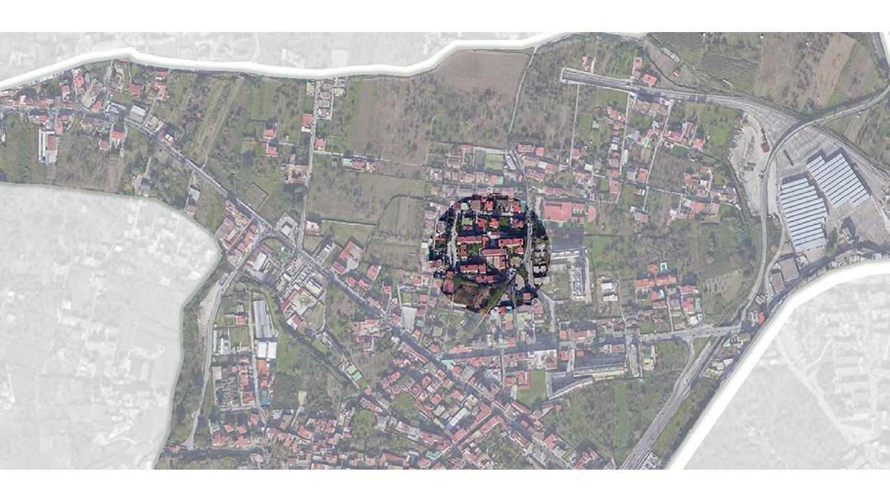
The challenge is to develop an urban and environmental redevelopment of the northern suburbs of Naples with the primary objective of defining a climate adaptive design strategy to be applied at the scale of the urban subdivision, capable of mitigating the effects caused by climate change. It starts with a careful analysis of the current conditions and then develops targeted design actions supported by the action and interoperability of computer programs including, ENVI-met and Grasshopper.


Results
After a careful study of the area, it was possible to define the macro-objectives of the project, which consist mainly of environmental upgrading through climate adaptation and social upgrading through improving the quality of living in public spaces. It came to define design actions designed to counteract the effects of climate change by acting on the increase of green areas, the percentage of permeable surfaces, shading systems, the presence of water bodies and reflective surfaces.
Specifically, along the main axes with the most traffic, the presence of new plantings that can contribute to both cooling and shading has been increased, with preference given to planting trees that can contribute to CO2 absorption. The issue of water runoff and drainage has been addressed through the inclusion of water squares in the two main pedestrian plazas, with rain gardens placed near the parking lots, and in addition, the area designated for sidewalks has been covered with the Climate Tile system, one of paving that can drain and contain water within an underlying reservoir.
Paved paths were minimized and those that were present were replaced with draining asphalt, while parking areas were entirely covered with grass gridding. Following the implemented interventions, it was verified through environmental analysis whether the percentage of comfort had increased compared to the previous situation. In all four analysed parameters PMV (Predicted Mean Vote), Air Temperature, Surface Temperature, Wind Speed the percentage of values decreased, demonstrating the effectiveness of the implemented interventions and their validity.
The simulations were carried out on the most critical day from a climate point of view for the city of Naples, that is July 26 at 12 am. Utilizing EPW weather data referring to the current condition (2000s) and an EPW file with climate projection to the future (2050s), it was possible to demonstrate how important it was to act so that the effects of climate change were modified. In fact, in all simulations, the results obtained did show that the designed interventions had a benefit, especially on surface temperature, where in some points the decrease was significant.